What is Geodesy?
CO JE TO GEODÉZIE?
What is Geodesy?
Geodesy is the branch of science that deals with the measurement and study of the exact shape and dimensions of the Earth, as well as the position and height of objects on its surface. The discipline combines modern technologies such as GPS and satellite systems with traditional measurement methods to provide the necessary data for cartography, construction, navigation and other engineering applications. Geodesy plays a key role in the production of maps, the delineation of land boundaries, the construction of infrastructure and the monitoring of changes in the Earth’s surface.
Propagation movie
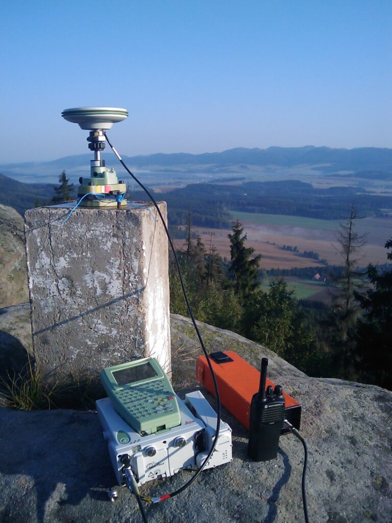
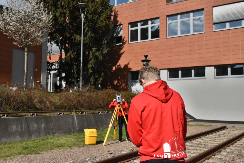
The activity of the modern surveyor differs significantly from that of the surveyor, or, if you prefer, the surveyor of the recent past. It is not that he does not move in the field, that he does not translate the terrain and human creations in it into the form of numbers, maps and 3D models. That part has remained, it’s just that the tools the surveyor uses have changed fundamentally.
We live in the information age and information about the earth’s surface and the objects on it is supplied to planners by surveyors. They subsequently lay out (mark out) the projects in the field, check the geometrical aspect of the construction, and document the actual construction. And it’s not just about buildings.
Do you think that’s all a surveyor applies to? Far from it…
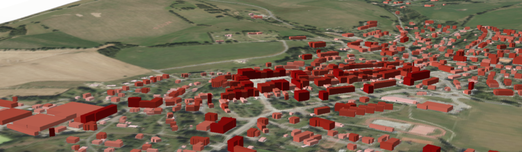
Do you know orthophotos, street view or 3D terrain models?
That’s what surveyors create.
We also create map portals of cities, utilities and cultural monuments. We process data from the latest technologies.
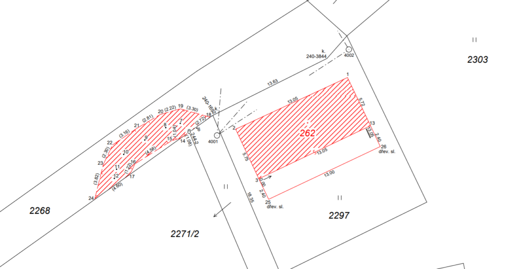
Are you more interested in the area of land registry? Good choice!
You can work at the cadastral office and check the results of other surveyors. New buildings are being built every day, property rights are changing and existing cadastral maps are being refined. Surveyors create the content of cadastral maps throughout the country.
Alternatively, you can work on land improvements and take part in restoring the natural function of the landscape. Thanks to you, our landscapes will be varied, suitable for animal and human life, and at the same time sustainable for agriculture.
Do you feel like a scientist? Welcome to us!
We use navigation satellites to monitor the movement of continents, determine the exact parameters of the Earth’s motion and dimensions, and monitor earthquakes and tsunamis.
Our data is used to determine the melting of glaciers and the rise in ocean levels. Don’t you want to stay on Earth? Take a look at the sky. There’s plenty of work for GEODETH there, too. You can determine the orbits of satellites, model the Earth’s gravitational field from satellite data, or study the tidal forces acting on the Earth.
Do you have any more questions?
Feel free to email us or post on social media.