Study programme
Geodesy and Cartography
Bachelor’s Degree – Geodesy and Cartography
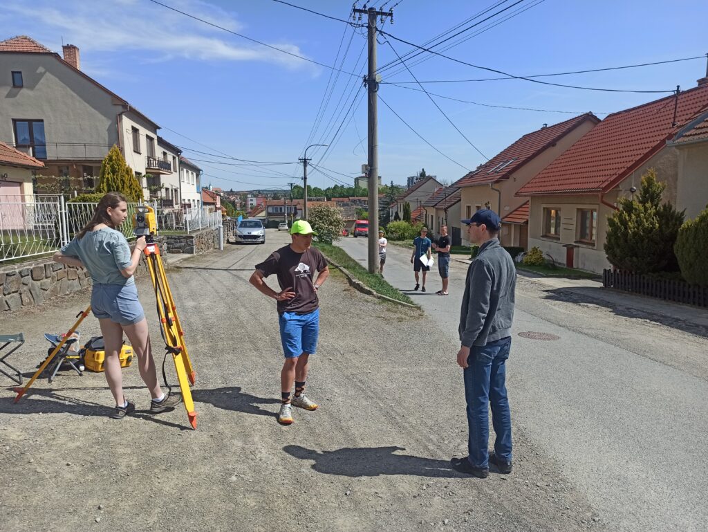
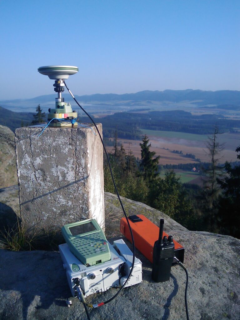
The bachelor’s program is focused on teaching the basic principles of geodesy and cartography. Graduates gain knowledge of modern surveying technologies such as GPS, photogrammetry and remote sensing. The degree also includes field classes, which take place each year during the summer semester, shortened by three weeks to allow students to apply theoretical knowledge in practice. This program prepares graduates for work in government, cadastral offices, or private surveying firms.
Continuing Master’s studies
The MSc provides deeper specialization in areas such as engineering geodesy, geoinformation systems, and physical geodesy. Students deepen their knowledge while preparing to tackle challenging geodetic tasks in practice. Graduates of this program can hold senior professional and managerial positions and are also prepared to become an Officially Licensed Land Surveying Engineer.
Doctoral studies
Doctoral studies are designed for those who want to develop a scientific career in the field of geodesy and cartography. During their studies, students focus on advanced methods of measurement and analysis of geodetic data, enabling them to solve complex problems in research projects. Graduates of the PhD programme will find employment in academia as well as in research and development activities.
Field training
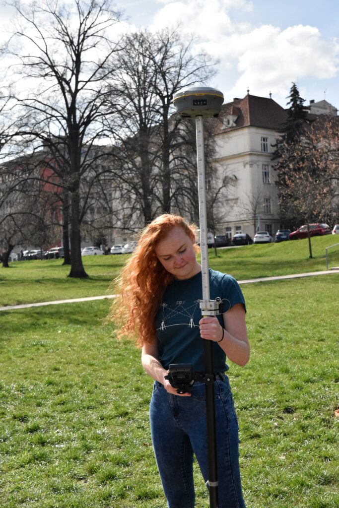
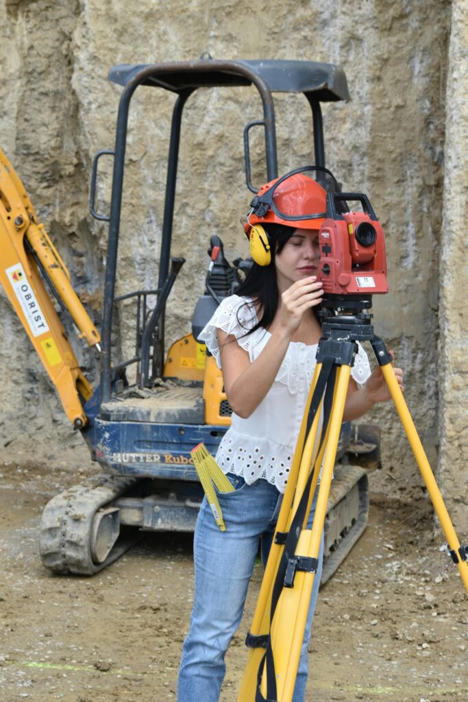
A unique part of our program is the emphasis on practical skills. Each year, except for the final year of the follow-up Master’s degree, includes compulsory field classes during which students apply theoretical knowledge in a real-world setting.