Study programs offered
| Title | Type | Form | Length of study | Link |
| Geodesy and cartography | bachelor’s degree | full-time study | 3 years | link |
| Geodesy and cartography | master’s degree | full-time study | 2 years | link |
| Geodesy and cartography | doctoral degree | full-time study | 4 years | link |
Study
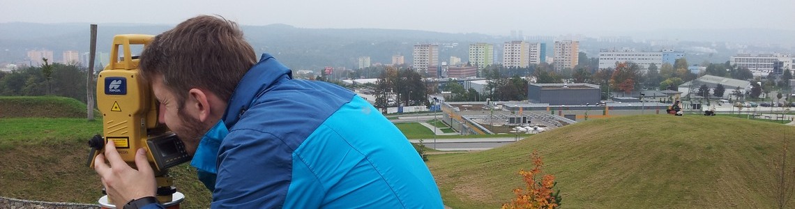
Studying the field of Geodesy and Cartography is more diverse than other fields, as the teaching of theoretical knowledge alternates with the teaching of practical skills in laboratories and during practical measurements in the field. We measure not only in the school grounds and the adjacent park, but sometimes practically all over Brno. Do you want to try to measure the crooked chimney of the heating plant, or would you rather map the park on Kraví hora? Welcome among us! And how about going after a day at school to look at the North Pole and chat with your classmates on our terrace?
Field training
Every summer semester, students leave from 1st to 4th. year for up to three weeks of training in the field outside Brno. During training in the field, students practice the knowledge and skills acquired during theoretical and practical training at school.
Professional practice during studies
During their studies, students are involved in semester projects that are based on practical requirements. In the past, students participated in, for example, the following projects:
- 2006 – 2011: Národní památkový ústav – Zaměření stavební dokumentace hradu Veveří a účelové mapování okolí hradu
- 2013: Fakulta elektrotechniky a komunikačních technologií, VUT v Brně – Zaměření účelové mapy v areálu FEKT VUT
- 2019: Zaměření účelové mapy a laserové skenování v okolí hráze Brněnské přehrady
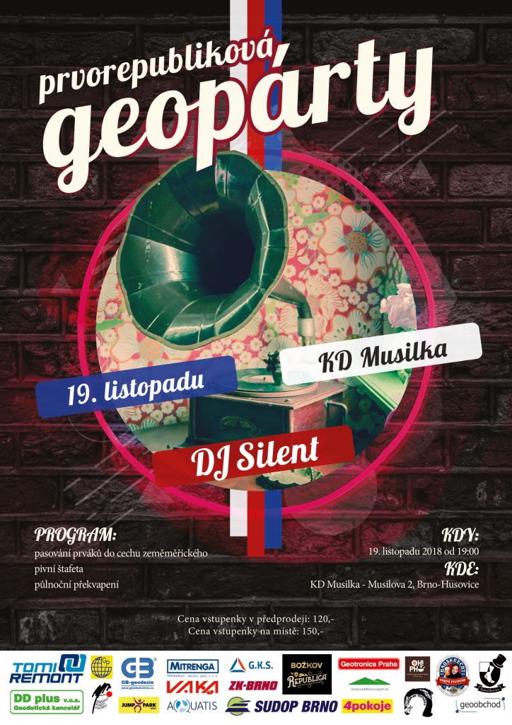
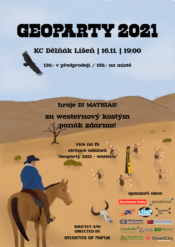
Geopárty
Being a surveyor is a privilege, which is why we pass first-year students to surveyor status every year. GEOPÁRTY is an ideal place where current and former students and employees of the Institute of Geodesy meet on an informal basis.